

(23) “Appamatuck”
December 1608
Colonial Heights, VA

Appomattox River reflections
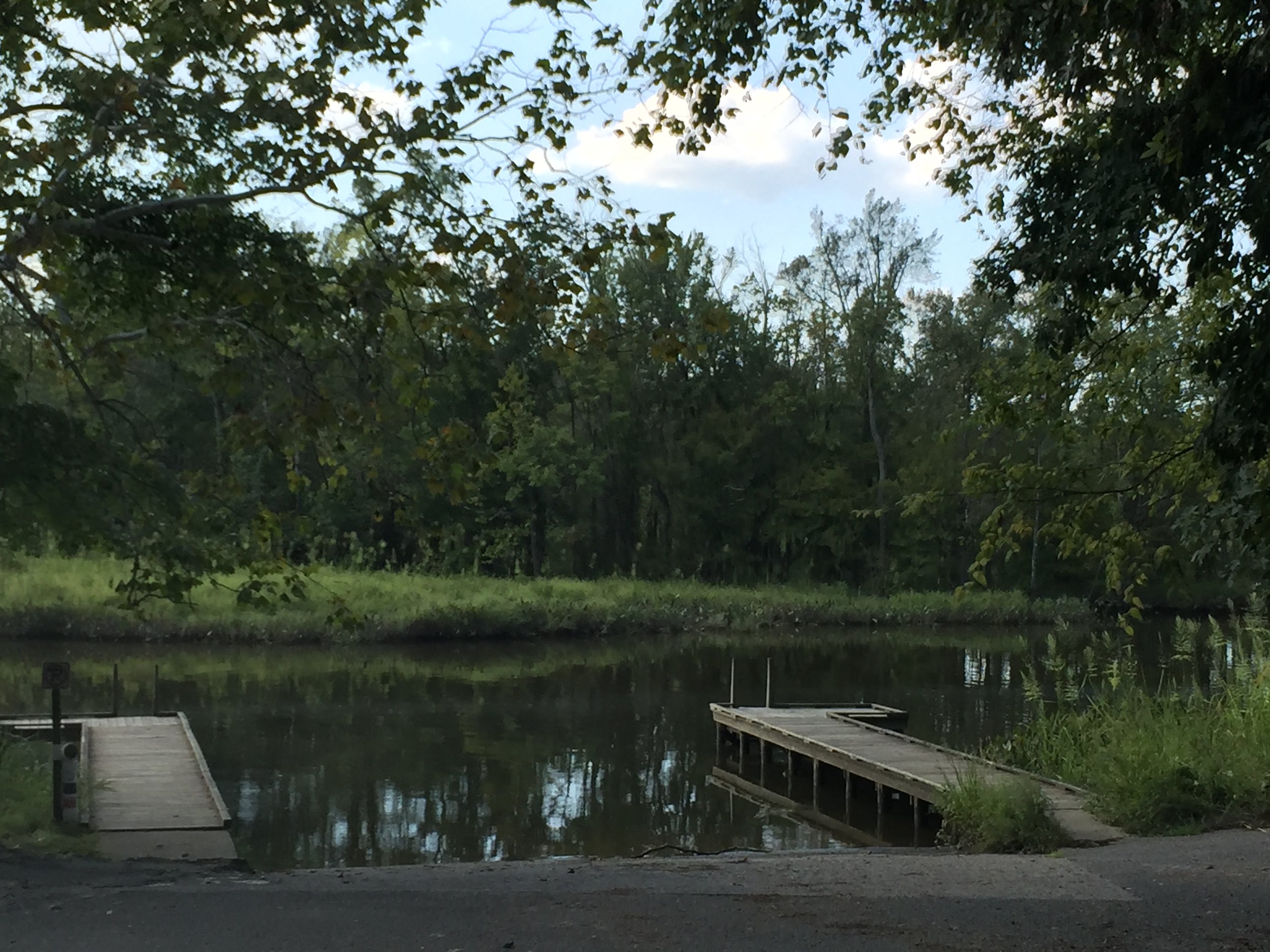
The Appomattox River

A view of the Appomattox River from Appamatuck Park.
All photos: Connie Lapallo

Mayor Greg Kochuba of Colonial Heights helped dedicate the marker. Members of City Council were also present.

Craig Skalak, Director of Recreation and Parks gave dedicatory remarks at the ceremony as did Ben Uzell, president of the Colonial Heights Historical Society.

Visit
Public land, Appamatuck Park. Access by land (public parking) off Archer Avenue or by flat water.
GPS Coordinates
37.2353, -77.4069
N37°14’07” x W77°24’25”
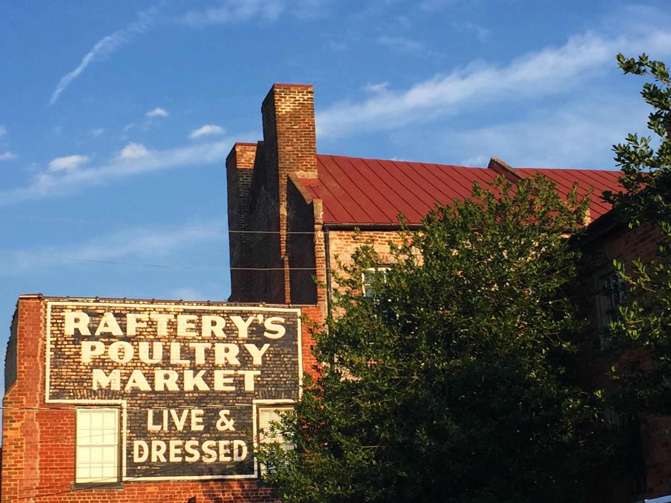
Enjoy old Petersburg while you’re in the area!
About
Towards winter Capt. Smith sailed upriver trading for corn to replenish supplies at Jamestown. He ascended the Appomattox River thirteen miles to the head of navigation.
Siting
Siting is from the Smith map and the head of navigation.

If you’re in Colonial Heights, be sure to stop to see its oldest resident, a 300-year-old cucumber magnolia which was already 50 years old at the time of the American Revolution. In fact, the tree was planted only 90 years after Capt. Smith’s 1631 death. Its the second largest of its species in the world. The tree is on the grounds of Violet Banks.