
(2) Moncuin Creek
15 December 1607
Manquin, VA

Mr. Hoover helps place the marker on his property overlooking Moncuin Creek


A view of Moncuin Creek. His Powhatan captors would have frog marched Captain John Smith across this creek around mid-December 1607.
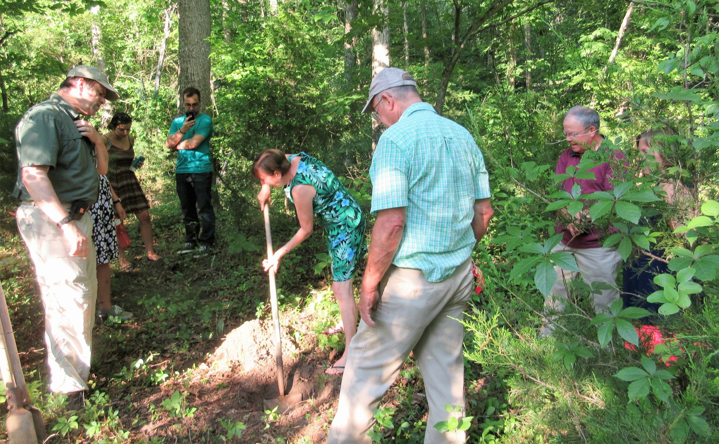
The crew assembles on Placement Day.

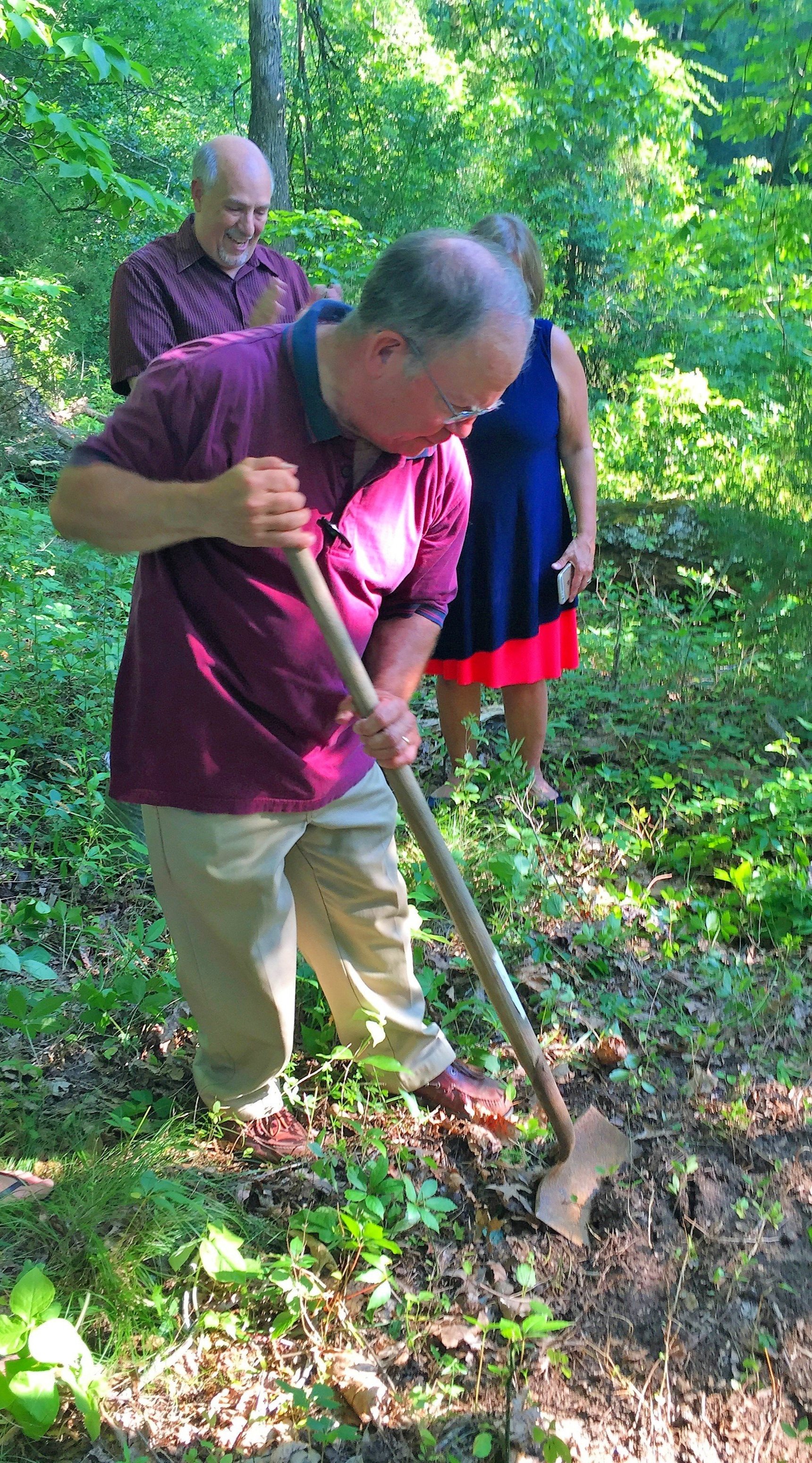
Ed leveling the marker

Mark Greenough, Tour Supervisor at the Virginia Capitol, helps us dig.
About
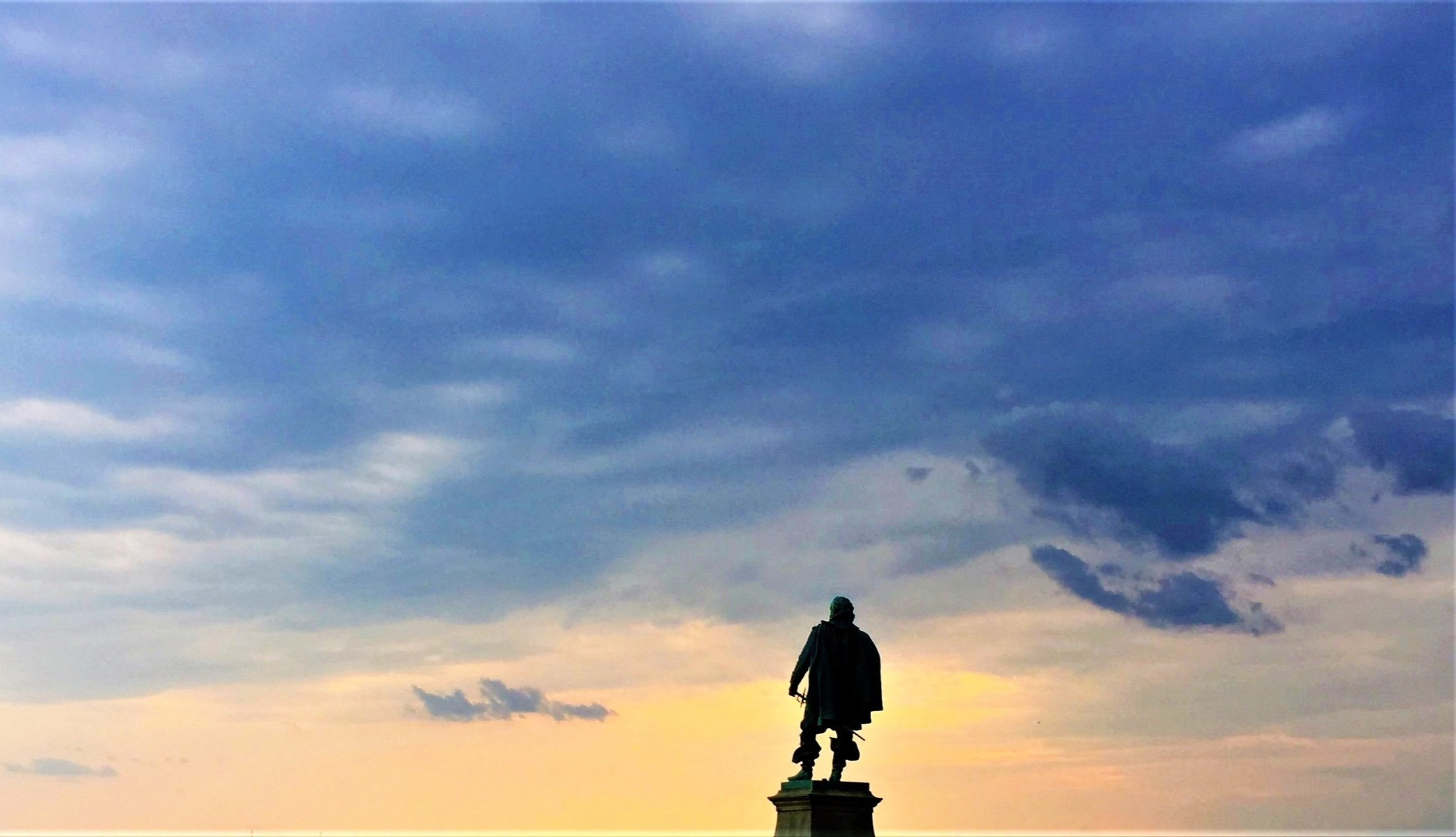
Capt. Smith as a prisoner of Powhatan’s brother Opechancanough, on a forced march across Pamunkey Neck, forded here to the left bank.
Siting
Siting is taken from the Smith and Zuniga maps, assuming that Cattachiptico/ Cakkiptaco village is at the mouth of Moncuin Creek. Here is a natural ford, being the first place upstream where opposing banks are solid ground.
Visit
Private land, personal, "Mount Pleasant" farm
Access is by land with pullover parking on Mount Pleasant Rd. The land is private but permission is not necessary.
GPS Coordinates
37.7122, -77.1458
N37°42’44” x W77°08’45”

David Hoover gives a marker dedication on June 11, 2016, while his wife Cheryl takes a photo.