
A glimpse of the wide and beautiful Potomac River, Smith's best hope for the Northwest passage

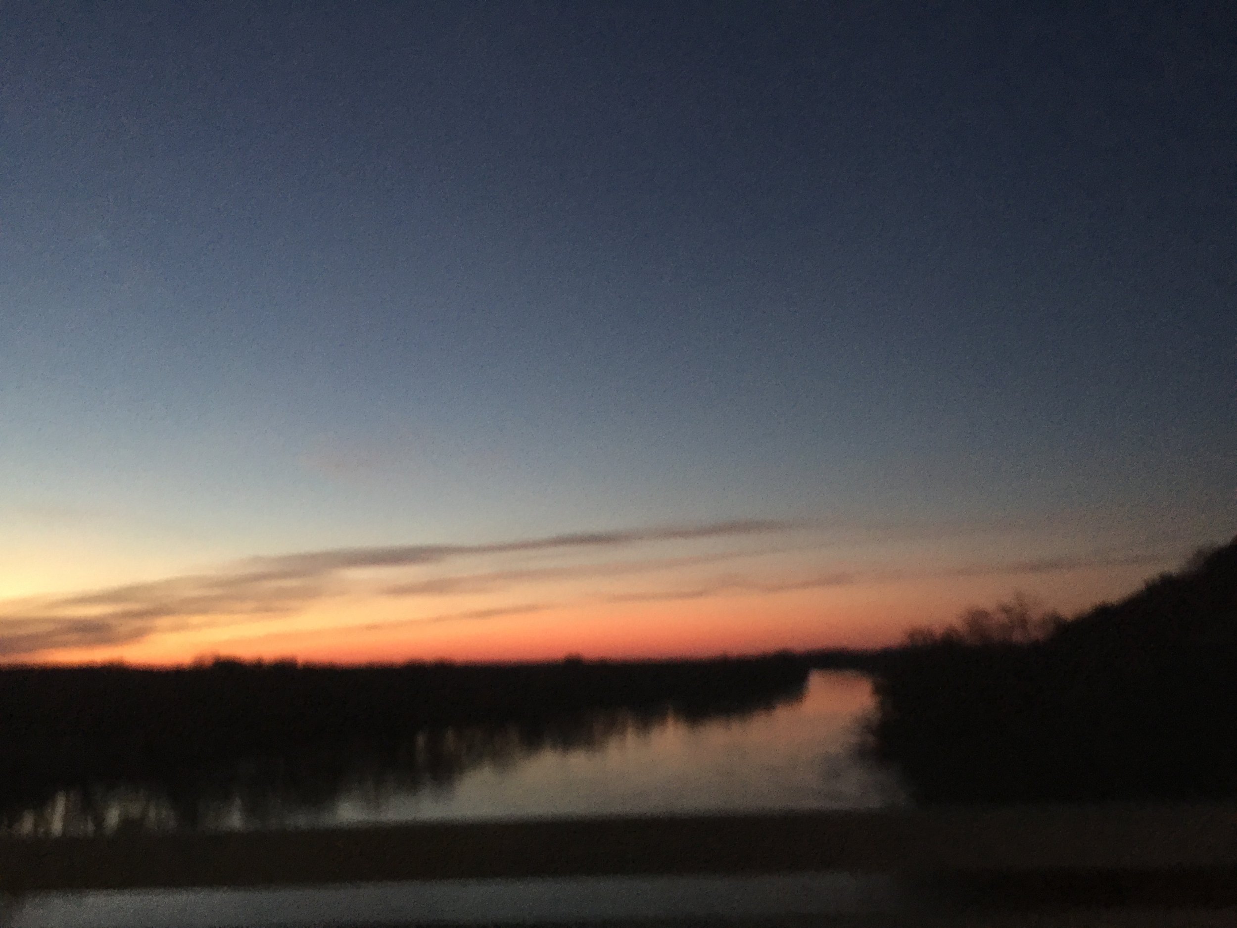
The landscape surrounding the marker on Northeast Creek, barren in winter, is nearly impassable with tearthumb in summer.


How do you design a granite marker? Start with cardboard and draw a design to be engraved, maybe? Ed created this early prototype.

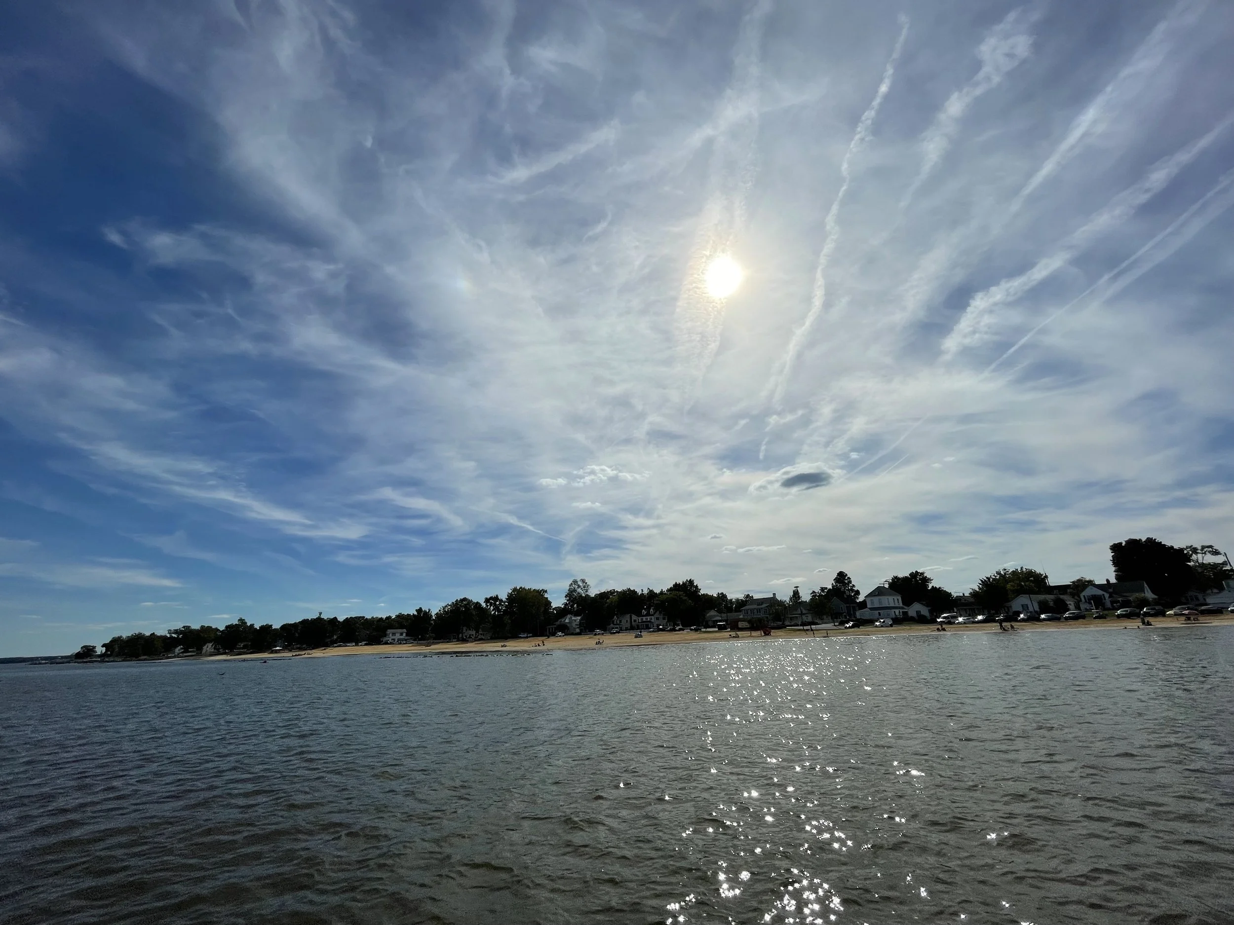
A view of the Chesapeake Bay from the bridge. It's stunning, blue, expansive.

How does Smith's representation of the Potomac River compare to the modern topographic map?

Part of the Smith map

The serene Sassafras (Toghwogh) River on Maryland's Eastern Shore.

The James River is beautiful. We like to imagine how it looked to the settlers.

We're in a small boat near the mouth of the Bush River so that we can see it as Smith did.


The Elizabeth River in downtown Norfolk. We concluded Smith had placed a marker on the little Lafayette River rather than the mighty Elizabeth.


The Chickahominy River iced over in 2018 gives some idea of life in Colonial Virginia during the Little Ice Age. The Jamestown settlers described the James River frozen into a block of ice.

The replica ship Discovery docked at the old channel of the James River. In 1611, the colonists created the new town of Henricus on the bluff above. In the earlier days of 1607, Smith, on Capt. Christopher Newport's 1607 expedition, would have taken the original channel to the left in traveling upriver.
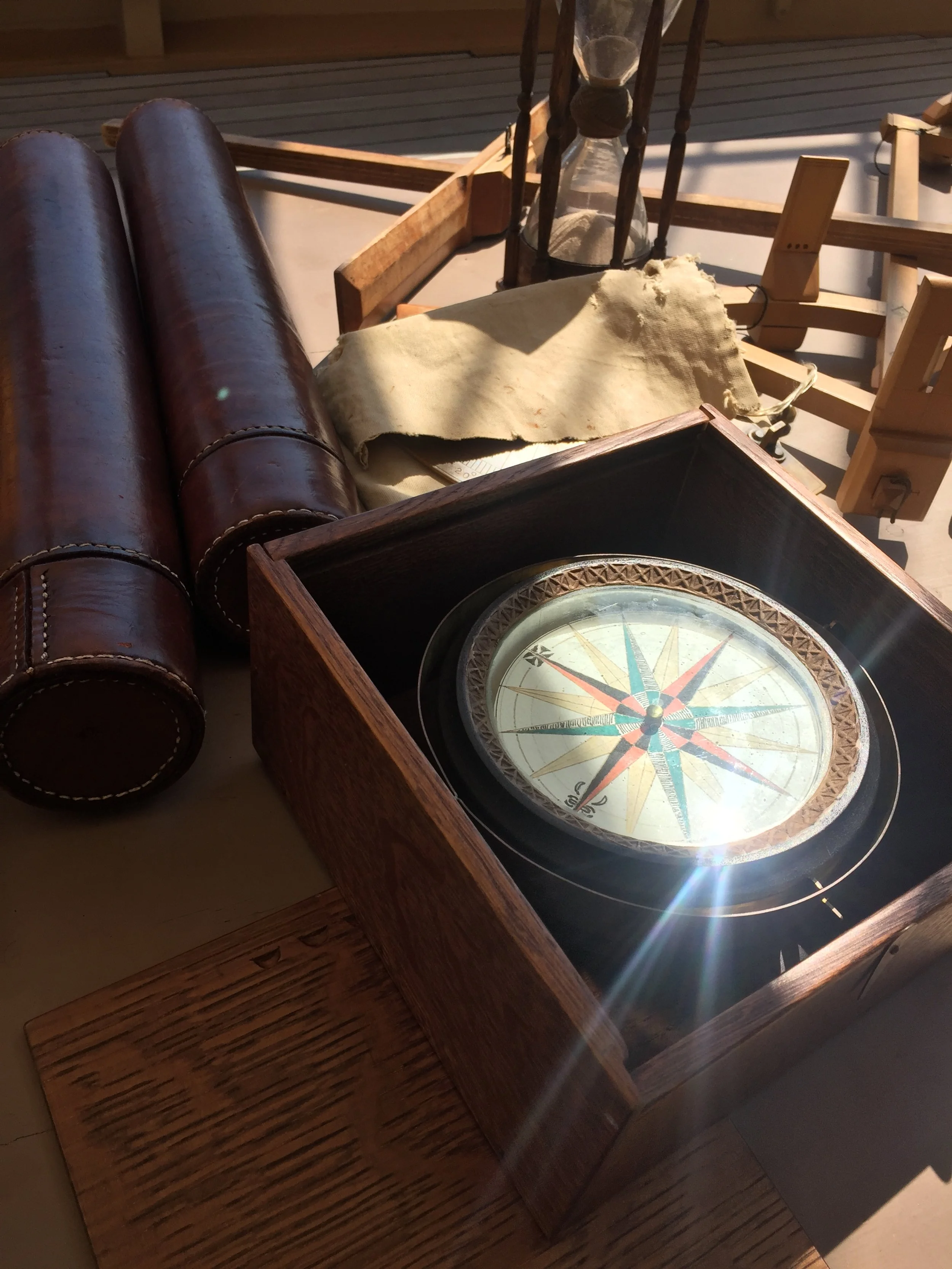
A look at navigation instruments of Smith's day aboard the Discovery.

Another boat ride, this one on the James River and on Chippokes Creek to view the landscape as Smith did.


Ed looking into toward the Chesapeake Bay near the mouth of the Bush River. Surveying by water as well as land helps us view the landscape as Smith did from his shallop.

The granite marker before being planted in the ground.